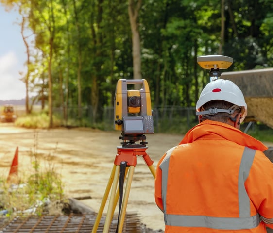
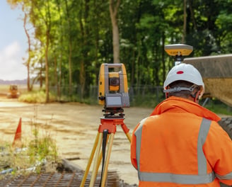
Serviços de Agrimensura e Topografia

Levantamentos, georreferenciamento e planejamento territorial com precisão e qualidade.

Avaliações precisas e confiáveis.

★★★★★

Sobre a P. R Agrimensura

Especialistas em agrimensura e topografia, oferecemos serviços de levantamentos, georreferenciamento, planejamento territorial e regularização de propriedades para atender suas necessidades com precisão e qualidade.

150+

15

Clientes satisfeitos

Experiência comprovada

Serviços de Agrimensura

Oferecemos soluções completas em topografia e geodésia para atender suas necessidades específicas.

Georreferenciamento

Realizamos georreferenciamento preciso para garantir a legalidade e a segurança de suas propriedades. Georreferenciamento Preciso: A Base da Legalidade e Segurança de Sua Propriedade

A tripod-mounted surveying instrument is prominently placed in the foreground, with a large construction site visible in the background. Tall cranes and unfinished buildings indicate ongoing construction work, set against a clear blue sky.
Topografia Usucapião

Executamos levantamentos topográficos para processos de usucapião, assegurando a regularização de terrenos.Topografia para Usucapião: A Base da Regularização Fundiária
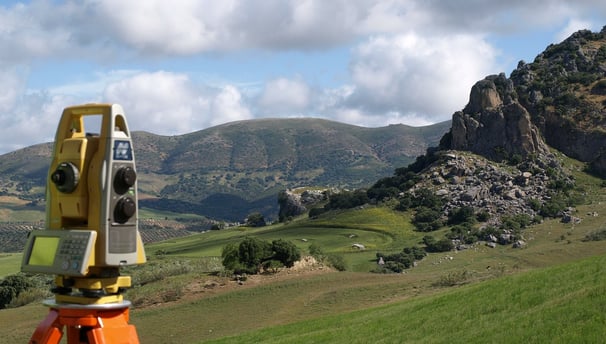
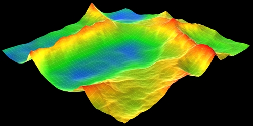
TOPOGRAFIA

A topografia é a ciência que se dedica a descrever detalhadamente a superfície da Terra, mapeando suas formas, dimensões e elevações. Através de técnicas e instrumentos específicos, os topógrafos conseguem representar com precisão o relevo terrestre, fornecendo informações cruciais para diversos setores, como engenharia, arquitetura, geologia e planejamento urbano.

A person wearing a reflective safety vest stands outdoors on grassy terrain. They are holding equipment and seem engaged in some form of land survey work. Nearby, a tripod with a white circular device is set up, casting a shadow on the ground.
A person is intently working with a modern surveying instrument, adjusting its components. The equipment has an orange and white body, with a digital display and various controls, suggesting precision and technical usage.
A yellow and black tripod-mounted surveying instrument is positioned under a metal bridge by a riverbank. The bridge has rust-colored girders and shadows cast across a concrete wall. Lush greenery grows along the banks with patches of sunlight highlighting parts of the scene.